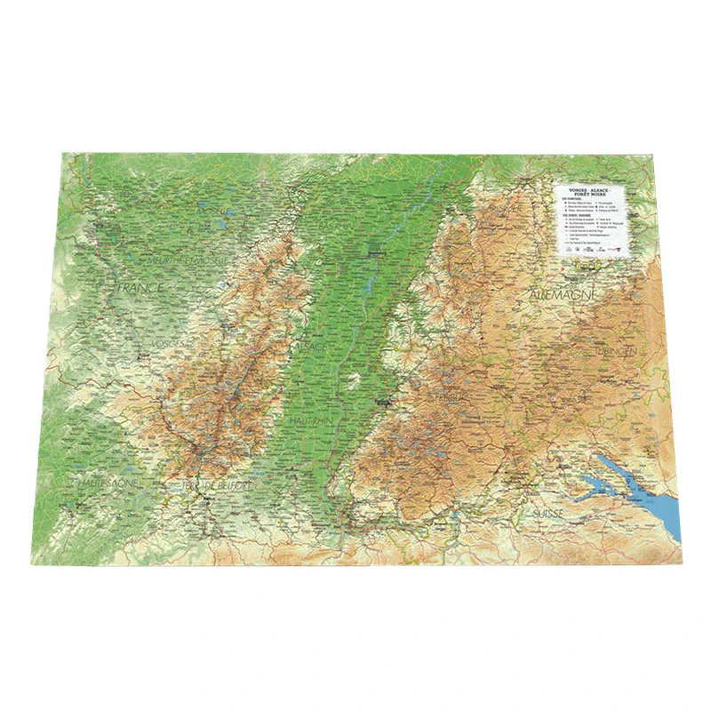
Explore the Vosges, Alsace and the Black Forest in relief
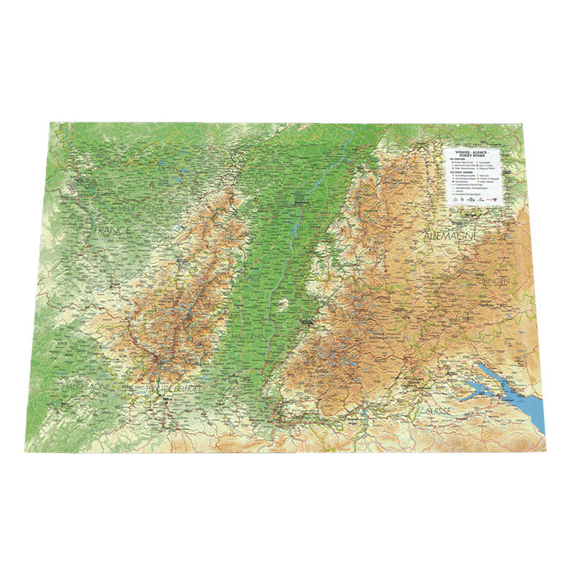
This 3DMap relief map offers a detailed representation of a vast area covering the Vosges Mountains, Alsace and the Black Forest. Thanks to the three-dimensional representation of the terrain, it makes it easier to visualise the different mountain ranges, valleys and landscapes of this region located between France and Germany.
Beyond the relief itself, the map brings together a wide range of geographical, tourist and sports-related information. Paragliding enthusiasts can identify flying sites as well as take-off and landing areas. Hiking and mountain enthusiasts will also find the main routes and facilities throughout the region.
The map includes:
- Paragliding sites
- Take-off and landing areas
- Long-distance hiking trails
- The Grande Traversée des Vosges
- Mountain huts
- Via ferrata routes
- Ski resorts
- Airports and airfields
- France’s most beautiful villages
- UNESCO World Heritage Sites
- The Network of Major Vauban Sites
- Castles and historic monuments
- Remarkable sites
- Museums
- Waterfalls
- Hydrological, natural and hypsometric data
- Administrative data
A 3D map for a better understanding of the region
The relief representation makes the geography of the region much easier to understand than with a traditional map. With a planimetric scale of 1 : 430,000 and an altimetric scale of 1 : 81,000, the relief is intentionally emphasised so that the main mountain ranges and valleys are immediately visible.
With dimensions of 41 x 61 cm, this map can be used both to prepare your next outings and to decorate an interior inspired by the world of mountains, travel and outdoor activities.
French expertise from 3DMap
The 3DMap relief maps are developed through extensive modelling and geographical data processing. The brand has notably developed its own 3D processing tools to reproduce the characteristics of the terrain and integrate a large amount of geographical information onto a single medium.
3DMap maps are also made in France, with particular attention paid to the accuracy of the relief and the quality of manufacture.
Advice from the Air et Aventure team
To showcase your Vosges – Alsace – Black Forest relief map, you can add a suitable frame, ideal for hanging it on the wall and turning it into a genuine decorative feature.
Available in several configurations:
- Map only
- Map with frame, depending on the colours offered and available separately
Air et Aventure also offers a selection of other 3DMap relief maps dedicated to the main mountain ranges, regions and playgrounds enjoyed by mountain and paragliding enthusiasts.





 English
 Français
 Deutsch