Explore the treasures of the Basque Country in 3D
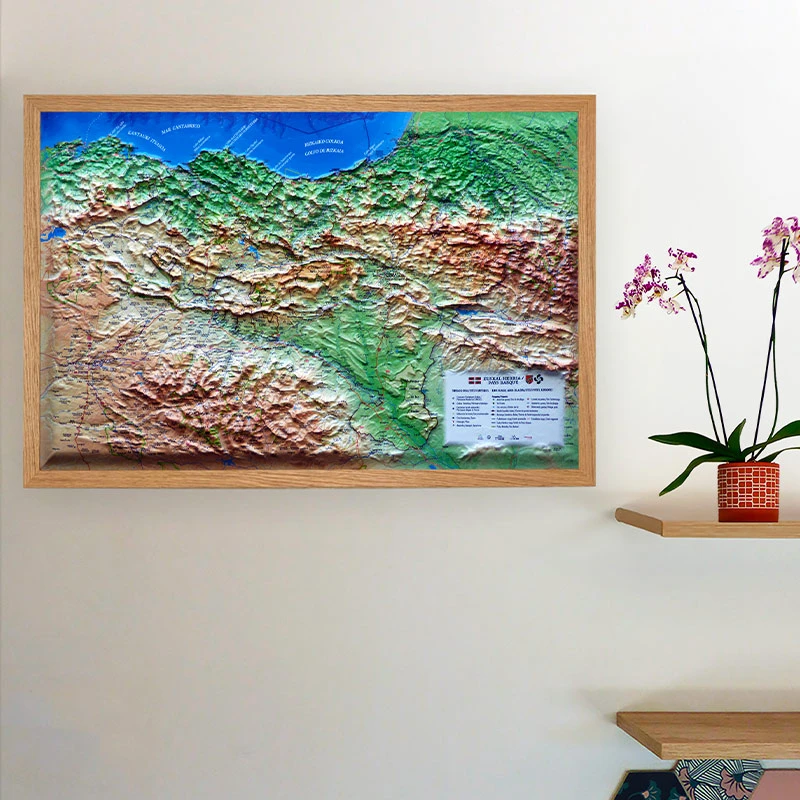
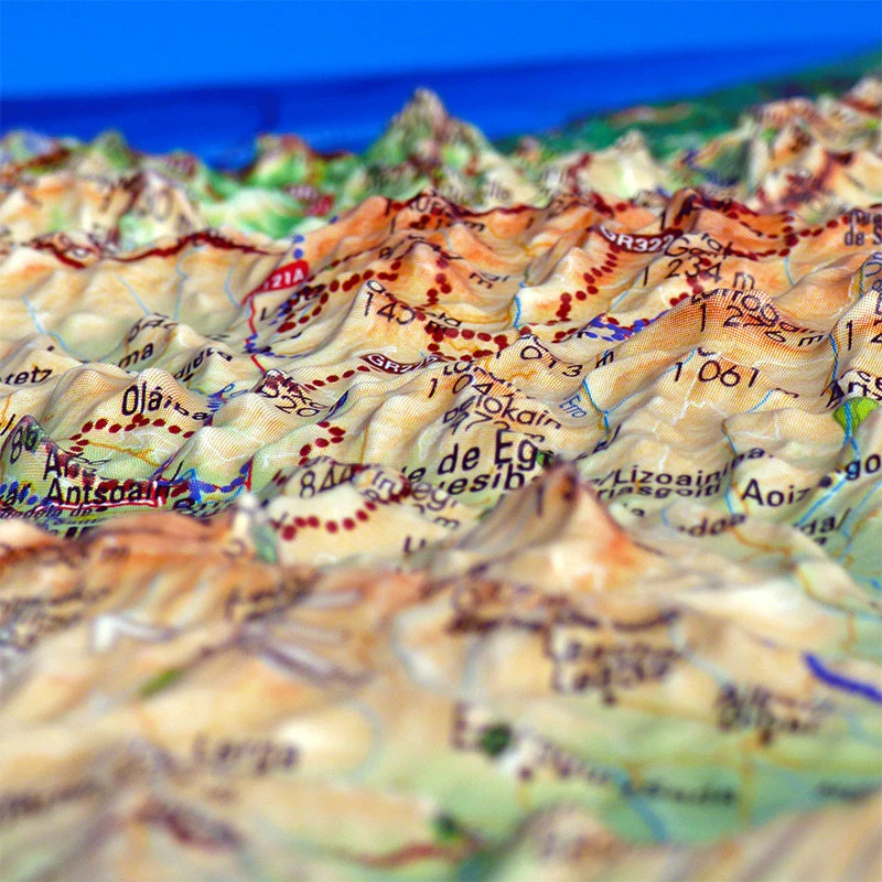
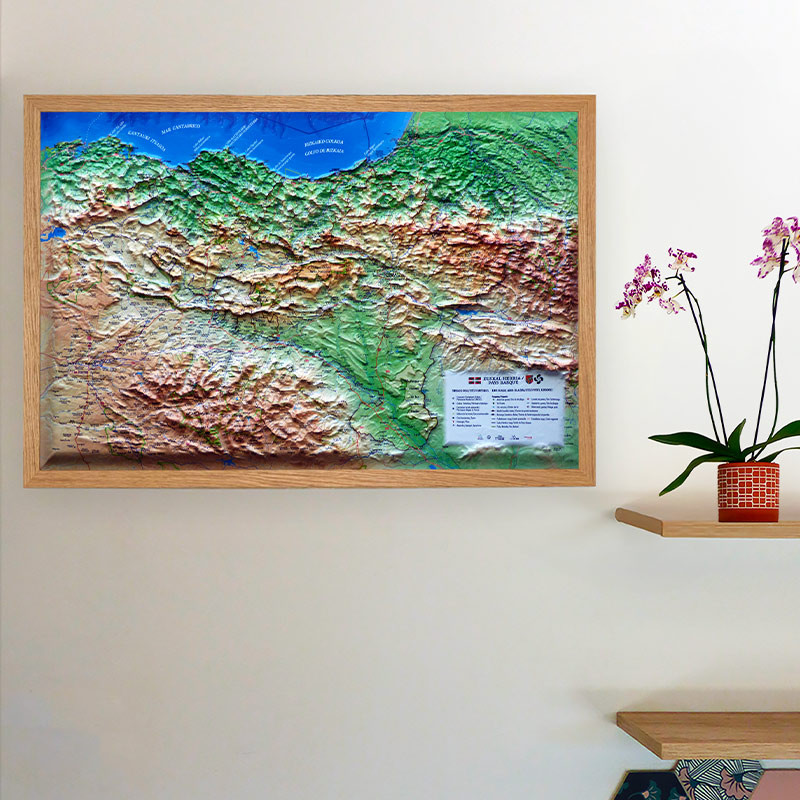
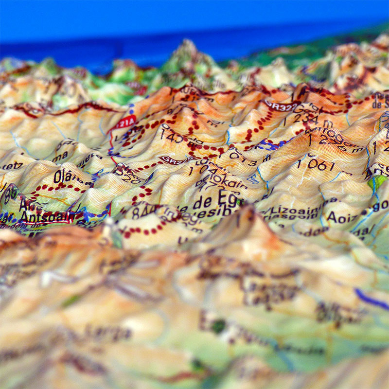
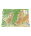
This raised-relief map of the Basque Country – Euskal Herria invites you to discover the diverse landscapes of the French and Spanish Basque Country. From the summit of La Rhune to the mountains of Soule and the beaches of the Basque coast, it offers a detailed representation of the region through its three-dimensional relief.
More than just a decorative map, it brings together a wealth of information on cultural heritage, tourist attractions and outdoor activities. It also stands out for its multilingual approach, with labels in Basque, French and Spanish, reflecting the cultural identity of Euskal Herria.
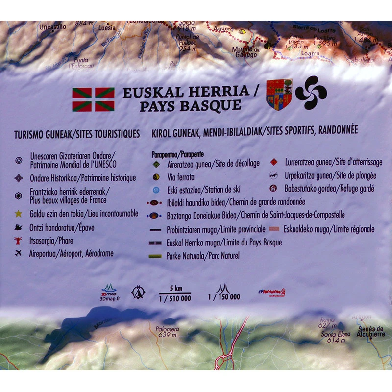
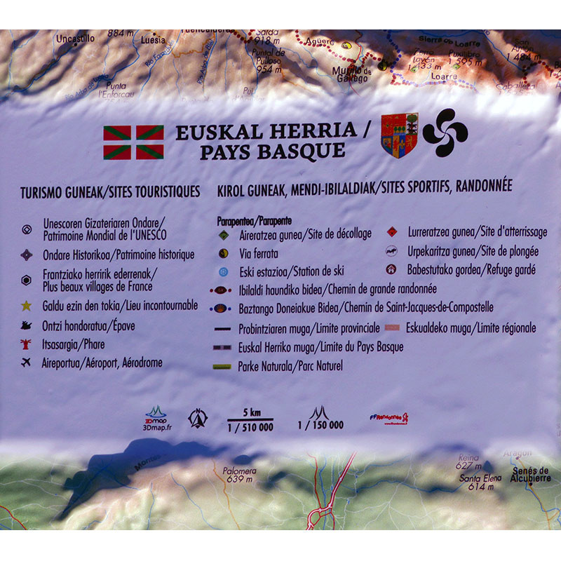
This 3DMap map features:
- Paragliding sites, take-off and landing areas
- Grande Randonnée (GR) long-distance hiking trails
- The Camino de Santiago pilgrimage routes
- Ski resorts
- Via ferrata routes
- Staffed mountain huts
- Dive sites
- Nature parks
- UNESCO World Heritage sites
- Historic monuments and heritage sites
- The most beautiful villages in France
- Must-see places
- Lighthouses and shipwrecks
- Airports and airfields
- Provincial and regional boundaries, as well as the boundaries of the Basque Country
With its horizontal scale of 1:510,000 and vertical scale of 1:150,000, this map helps you visualise the terrain and gain a better understanding of the region’s geography.
3DMap: French expertise in cartography
Founded by two brothers from Vaucluse with a passion for geography, 3DMap develops raised-relief maps made in France, combining cartographic precision with three-dimensional representations of different regions.
Through extensive research and development, the brand creates maps that highlight the geographical, cultural, sporting and tourist features of each region. Their design offers a fresh way to discover mountain ranges and iconic landscapes, while making them decorative pieces in their own right.
Measuring 60.8 × 40.8 cm, this Basque Country map fits easily into a home, office or space dedicated to mountain and travel enthusiasts.
Advice from the Air et Aventure team
To showcase your 3DMap raised-relief map, you can pair it with a suitable frame, ideal for hanging it on the wall and turning this representation of the Basque Country into a decorative feature.
At Air et Aventure, you will also find our selection of 3DMap raised-relief maps, featuring some of the most beautiful mountain ranges and regions in France and beyond.






 English
 Français
 Deutsch