Discover Brittany in relief
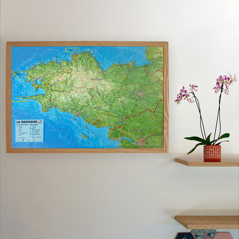
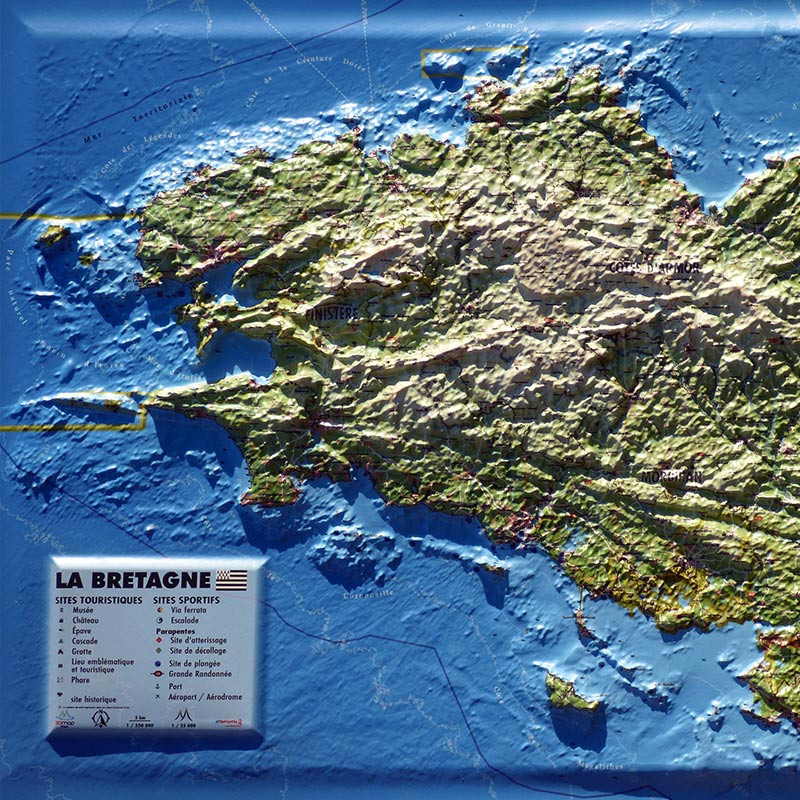
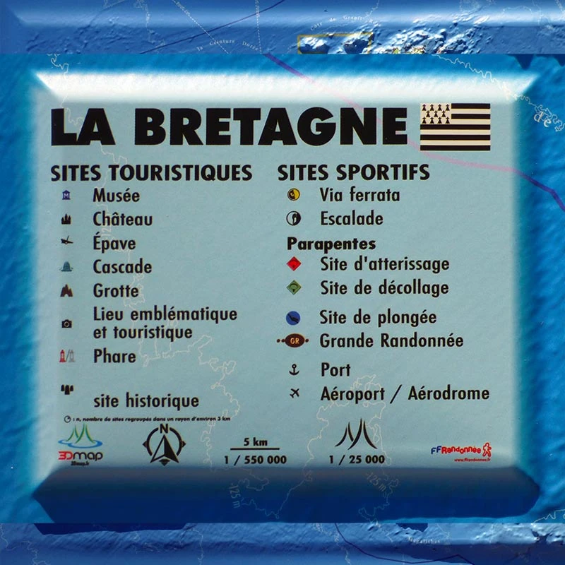
Bring an authentic touch to your decoration with the Brittany relief map. It highlights the region’s unique landscapes with its reliefs, rugged coastlines, hills, and valleys. You will also find the main geographical areas, key summits, major rivers, as well as departments, prefectures, sub-prefectures, and emblematic sites. The map also features regional natural parks, UNESCO World Heritage sites, major ports and airports, along with additional information such as local climatology and hydrology.
High-precision French manufacturing
Produced in France, the 3DMap maps stand out for their exceptional print quality, far superior to previous generations. This unique rendering is made possible by a specially developed 3D processing software that accurately exploits geographical and bathymetric data.
For an even better presentation, choose a matching frame (available in 4 colors).
And if you are passionate about Brittany, note that Air et Aventure also offers other 3DMap relief maps to help you travel through France and beyond.
Read moreShow less


