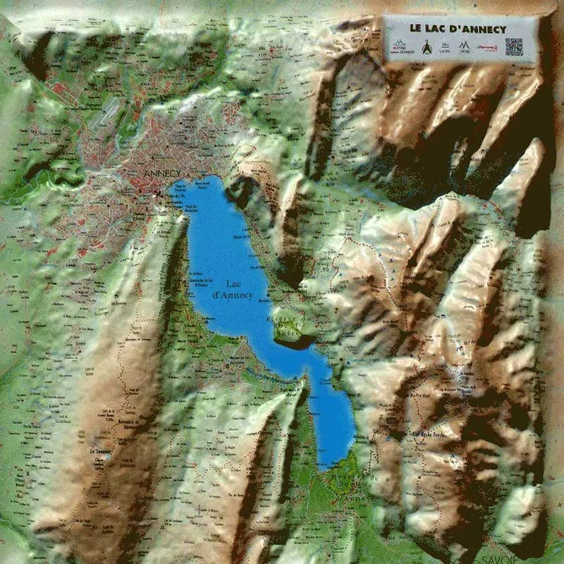
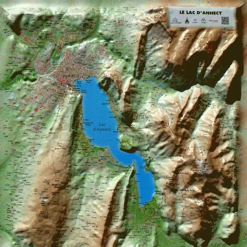
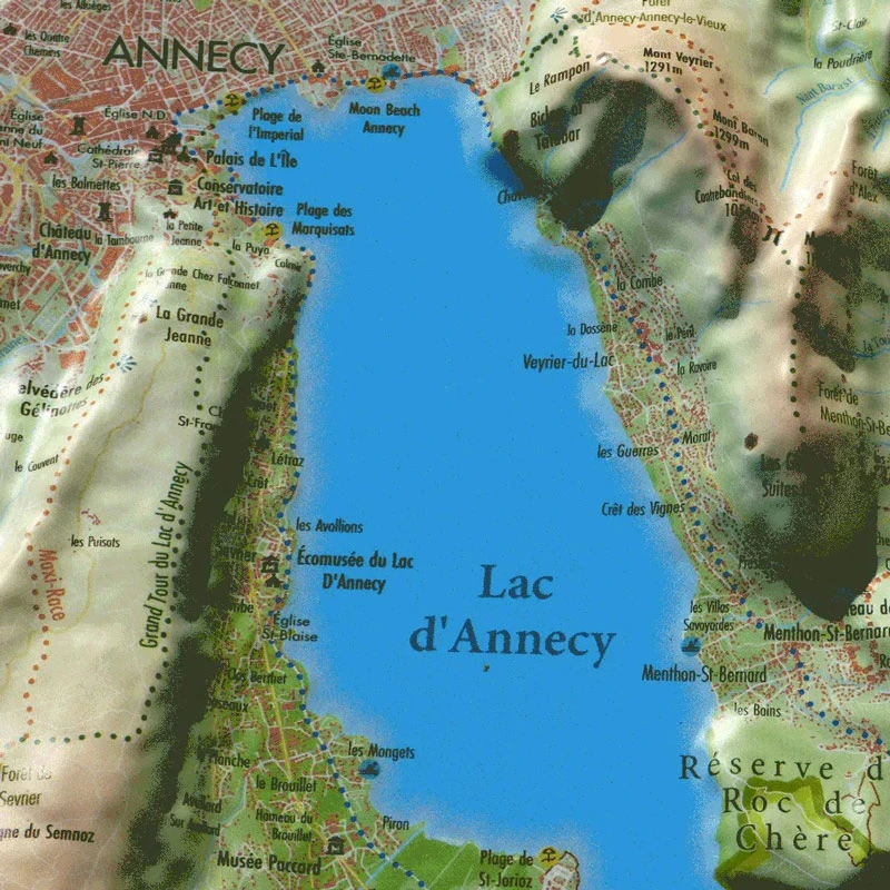
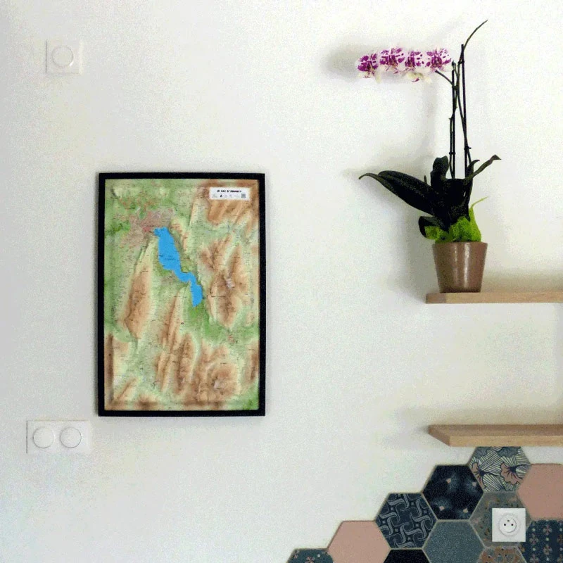
Discover Lake Annecy from the sky with the 3DMap relief map
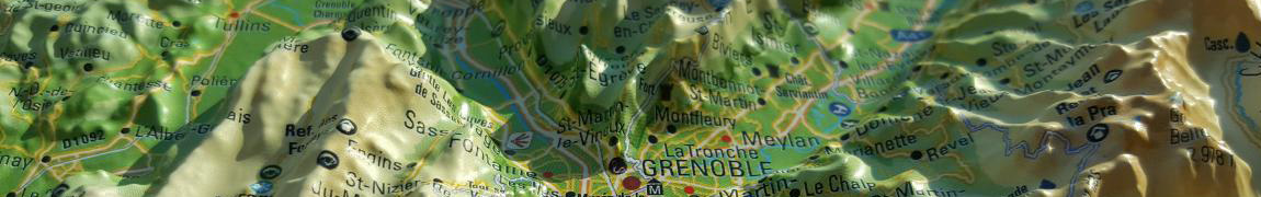
The Lake Annecy relief map showcases this incredible region from a unique perspective. It offers a detailed view of the lake, and the mountains of Savoie and Haute-Savoie. You will find, for example, paragliding sites, ski resorts, Via Ferrata routes, as well as many other details such as:
- Natural sites
- Glaciers and summits
- Thermal resorts
- Natural sites
- The most beautiful villages of France
- Mountain huts
- Observatories
- Museums
- Golf courses
- Beaches
- Airfields
- Legendary monuments and castles
- Religious sites
- GR hiking trails
- Trail routes
- Whitewater activity zones
- Remarkable itineraries
- Orientation tables
- Hydrological, natural, and hypsometric data
- Administrative data
A decorative and educational relief map
The 3DMap brand maps allow you to explore a region or a mountain range in a simple and unique way. The 3D reliefs featured on these maps are extremely useful for visualising and understanding the topography of the area. In addition, the many pieces of information they provide make it possible to study hiking routes as well as numerous other activities depending on each person’s interests (via ferrata, paragliding, sightseeing, etc.).
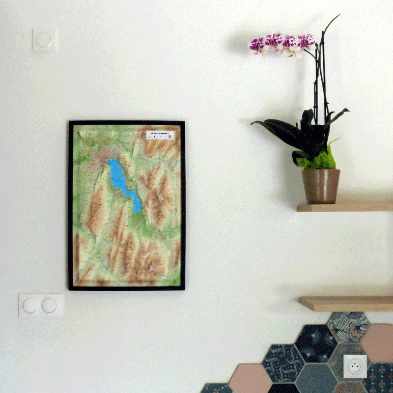
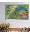
Moreover, these 3D relief maps can also serve as decoration. Paired with a beautiful wooden frame, they can enhance and embellish a wall or an office. You can even add pins and thread to display your hiking routes or your most memorable paragliding flights to your guests or visitors.
Note that
Air et Aventure also offers many other
relief maps from
3DMap. Feel free to discover them!
Read moreShow less


